Text

The History of Jamaica

The image is an 18th-century hand-drawn map of Caribbean islands and Central America with Jamaica at the center.
Author
Edward Long
Grade Level

This text is part of the Teaching Hard History Text Library and aligns with Key Concept.

History of Jamaica thh

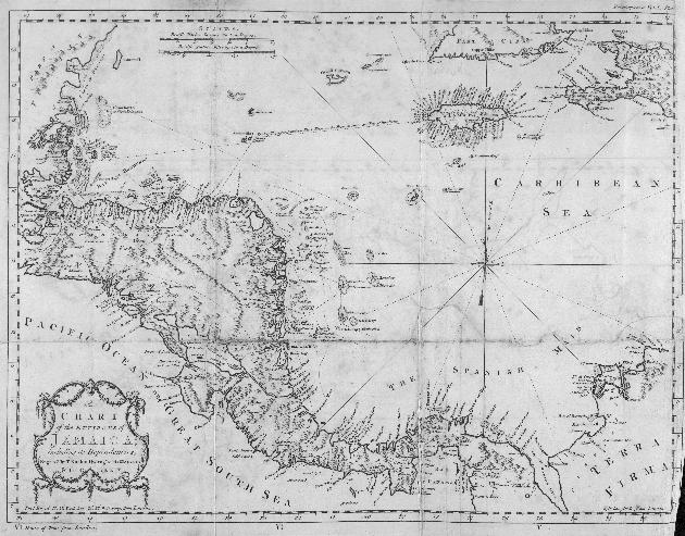
 An enlarged and zoomable version of this image can be found here

Source
This text is in the public domain. Retrieved from http://www.dloc.com/UF00047633/00001?search=jamaica+=map%20%3E.
Text Dependent Questions
  1. Question
    What is this a depiction of? What names can you read from the map? What colonies or nations are depicted?
    Answer
    This is a map of the Caribbean region, colonized in the 17th and 18th centuries by British, Spanish and French imperial interests. Among the colonies depicted, we see Jamaica with different port cities listed: Port Morant, Turtle Bay, Kingston. It is important to note that some names are French, others Spanish and others English.
  2. Question
    Find Central America. On which coast are most of the names and ports? Find Jamaica. Are the important sites marked on the coast or inland?
    Answer
    On this map, the majority of the places listed are port cities or towns necessary for maritime trade. On the Central American portion, most of the names listed are on the eastern seaboard due to its accessibility to European imperial interests.
  3. Question
    Who engraved this map? What perspective might he or she bring to the map? How might that perspective influence what is included or excluded?
    Answer
    This map was drawn by T. Kitchin Hydrog for “his Majesty,” King George III, in 1774. The map takes on a European perspective that accentuates port and trade cities useful to maritime exchange, and excludes religious, cultural or political sites important to indigenous people inhabiting the area.
  4. Question
    Given your knowledge of colonization, why might many of the names be European, rather than indigenous or African? What does this say about power and politics in Caribbean history?
    Answer
    The underrepresentation of non-European sites and names underscores the purpose (and failures) of the colonization process. Local indigenous knowledge and perspectives were often ignored, deemed external to the imperial process.
Reveal Answers
x
A map of Alabama, Florida, Georgia, Louisiana and Mississippi with overlaid images of key state symbols and of people in community

Learning for Justice in the South

When it comes to investing in racial justice in education, we believe that the South is the best place to start. If you’re an educator, parent or caregiver, or community member living and working in Alabama, Florida, Georgia, Louisiana or Mississippi, we’ll mail you a free introductory package of our resources when you join our community and subscribe to our magazine.

Learn More